Christan Sgrooten
the Netherlands on map » Maps from the 16th century
Price:17.50EUR
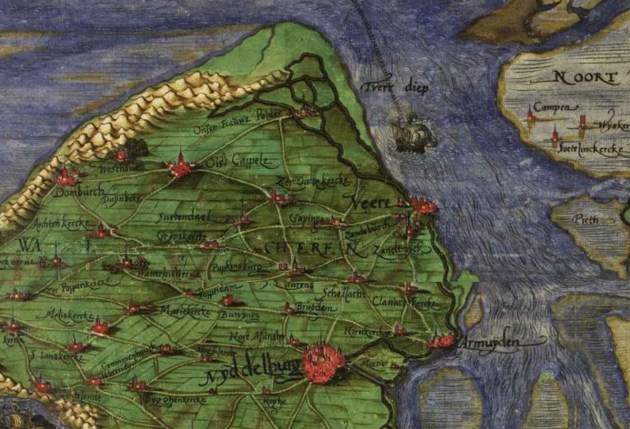
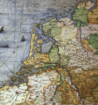
Christiaan Sgrooten (ca. 1532-1608) was Geographer Royal to Philip II, of Spain. Sgrooten made surveys and maps of the Netherlands, and contributed to the atlases of Ortelius. He also edited two manuscript atlases in 1575 and 1592.
On this cd 36 scanned maps of the Low Countries and the European regions (in color) made directly from professional high resolution photographic images.